What to expect
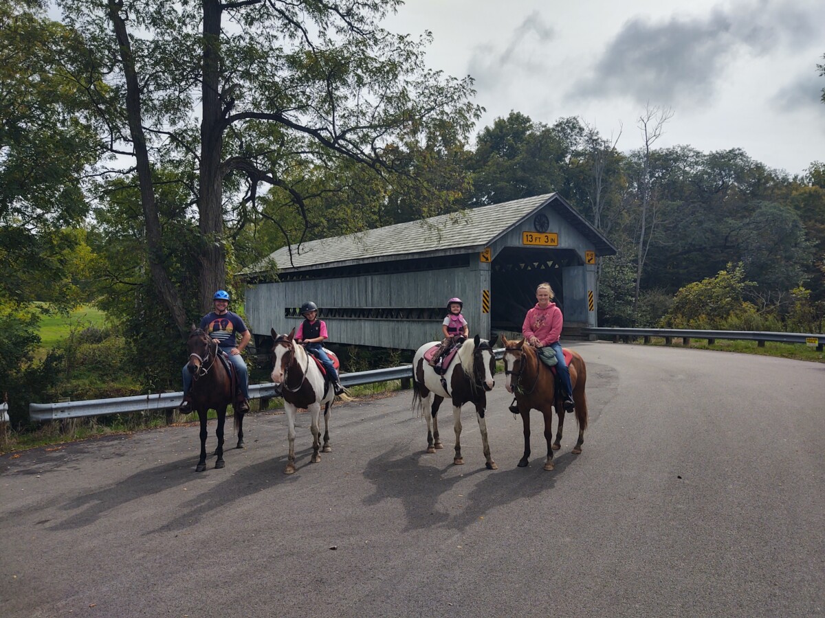
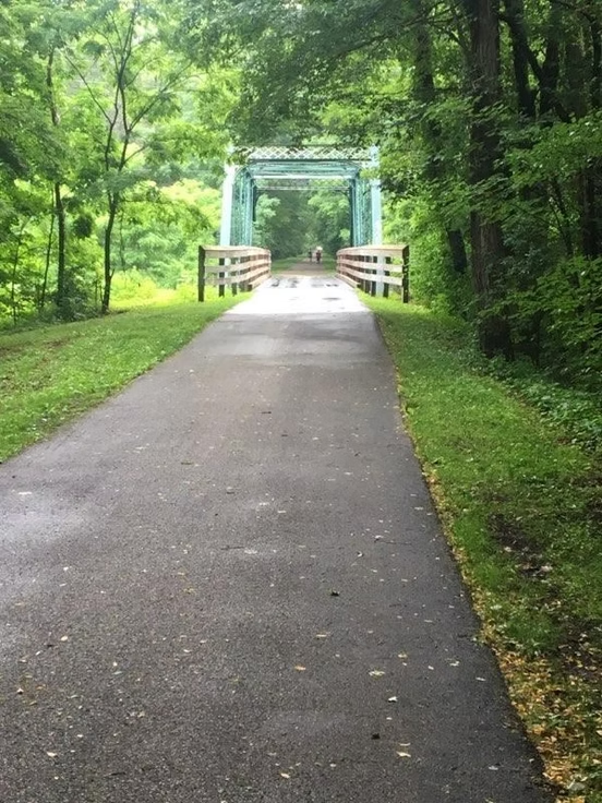
The Western Reserve Greenway Trail is a premier multi-use trail stretching more than 27 miles through Ashtabula and Trumbull Counties. Following a former railroad corridor, the trail serves as an important connection within the Great Ohio Lake-to-River Greenway, linking communities and providing a scenic route for cycling, walking, jogging, and exploring nature throughout Northeast Ohio. Along the way, trail users pass through a variety of landscapes, from peaceful woodlands and wetlands to open farmland and charming small communities. The mostly level, paved trail makes it an inviting option for visitors of all ages and abilities. With its combination of scenic surroundings, recreational opportunities, and easy access, the Western Reserve Greenway has become a popular destination for long-distance cyclists, family adventures, leisurely walks, and outdoor exploration.
- Trail Features: 27 miles of continuous paved trail; benches, mileage markers, interpretive signs, and restored historic bridge crossings
- Activities: Walking, running, biking, rollerblading, skiing, birding, and nature observation; snowmobiling permitted in winter
- Facilities: Benches, picnic areas, parking lots, portable restrooms at select staging areas
- Volunteers & Support: Maintained with the help of dedicated volunteers, bike patrol, and the Grand River Snowmobile Club in winter
- Rules: Motorized vehicles prohibited (except mobility devices and maintenance vehicles)
- Herzog Rotary Park – Woodman Avenue, Ashtabula Township – Google Driving Directions
- Munson Hill Station – Old Austinburg Road, Saybrook Township – Google Driving Directions
- Austinburg Lot – SR 307, east of SR 45, Austinburg Township – Google Driving Directions
- Lampson Road Staging Area – Lampson Road, south of SR 307, Austinburg Township – Google Driving Directions
- Rockcreek Parking – 2700 Rome Rock Creek Rd – Google Driving Directions
- Orwell Parking – U.S. Route 322, Village of Orwell – Google Driving Directions